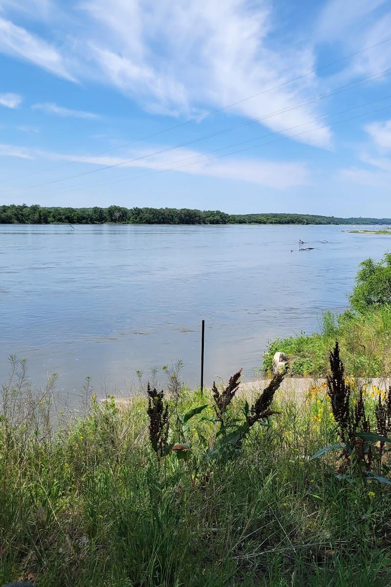
Trail
Sarpy / Platte · Managed by Papio-Missouri River NRD
MoPac Trail
EasyBikeable
MoPac Trail is drawn from Douglas-Omaha GIS (DOGIS). 16.1 miles, 300 ft of climb.
16.1 mi
Distance
300 ft
Total climb
1 hr 41 min
By bike
5 hr 32 min
On foot
Crushed limestone
Surface
Trail map
Full screenLine from Douglas-Omaha GIS (DOGIS). Douglas-Omaha GIS (DOGIS)© OpenStreetMap contributors
Elevation
Along the trail
- MoPac Trail;Lied Platte River BridgeBridge
What you might see
Research-grade iNaturalist observations along this trail in fall. Photos appear only under CC0 or CC BY.
- BluegillLepomis macrochirus39 observations
- MonarchDanaus plexippus14 observations
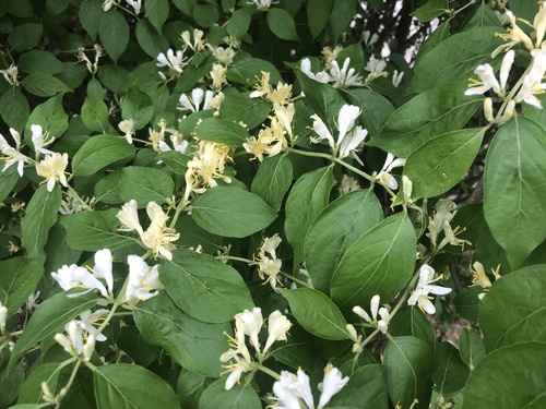 Amur honeysuckleLonicera maackii9 observations
Photo by Andrew Conboy · CC-BY View photo
- Common Eastern Bumble BeeBombus impatiens9 observations
- American BullfrogLithobates catesbeianus8 observations
- Painted LadyVanessa cardui7 observations
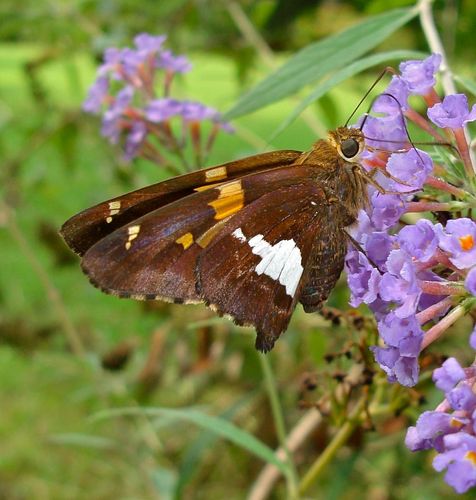 Silver-spotted SkipperEpargyreus clarus7 observations
Photo by Elin Pierce · CC0 View photo
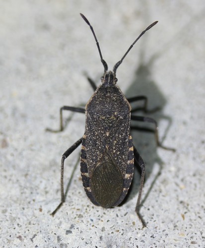 Squash BugAnasa tristis6 observations
Photo by Even Dankowicz · CC-BY View photo
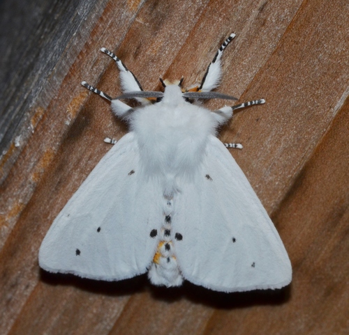 Virginian Tiger MothSpilosoma virginica5 observations
Photo by Andy Reago & Chrissy McClarren · CC-BY View photo
- DeKay's BrownsnakeStoreria dekayi4 observations
- Bold Jumping SpiderPhidippus audax4 observations
 Spotted Cucumber BeetleDiabrotica undecimpunctata4 observations
Photo by Katja Schulz · CC-BY View photo
View on AllTrails
Opens this trail on AllTrails