
Photo by MRK2016 · CC BY-SA 4.0
Trail
NW Omaha · Managed by City of Omaha
Standing Bear Lake Trail
EasyBikeable
LakeFamily
2.5-mile paved loop. Kite flying, RC airplanes, fishing.
6.4 mi
Distance
274 ft
Total climb
43 min
By bike
2 hr 17 min
On foot
Paved
Surface
Trail map
Full screenLine from Douglas-Omaha GIS (DOGIS). Douglas-Omaha GIS (DOGIS)© OpenStreetMap contributors
Elevation
Along the trail
- Parking at North 151st AvenueParking
- Parking at Standing Bear Lake ParkParking
- Restrooms at Standing Bear Lake ParkRestrooms
- Standing Bear LakeParking
- Parking at North 144th StreetParking
- Parking at North 148th StreetParking
What you might see
Research-grade iNaturalist observations along this trail in fall. Photos appear only under CC0 or CC BY.
- American pokeweedPhytolacca americana10 observations
- giant blue sageSalvia azurea7 observations
- Yellow BassMorone mississippiensis6 observations
- Eastern Fox SquirrelSciurus niger3 observations
- Red CloverTrifolium pratense3 observations
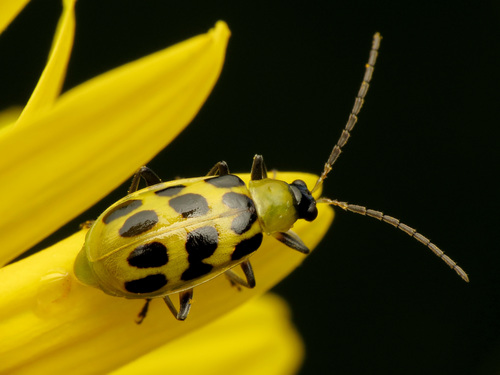 Spotted Cucumber BeetleDiabrotica undecimpunctata3 observations
Photo by Katja Schulz · CC-BY View photo
- Green SunfishLepomis cyanellus3 observations
- Isabella Tiger MothPyrrharctia isabella3 observations
- Yellow Garden SpiderArgiope aurantia3 observations
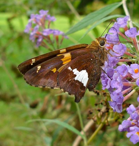 Silver-spotted SkipperEpargyreus clarus3 observations
Photo by Elin Pierce · CC0 View photo
- Locust BorerMegacyllene robiniae3 observations
- Common Eastern Bumble BeeBombus impatiens3 observations