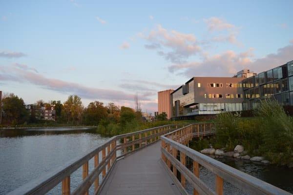
Trail
West Omaha · Managed by Papio NRD / Cities
West Papio Trail
EasyBikeable
CyclingRunningScenic
23.5 miles through western Omaha following Papillion Creek. North section is one of the metro's most scenic trails with parks every mile. Connects Zorinsky Lake to Bellevue.
23.9 mi
Distance
2 hr 47 min
By bike
8 hr 44 min
On foot
Paved/Concrete
Surface
Trail map
Full screenLine from Douglas-Omaha GIS (DOGIS). Douglas-Omaha GIS (DOGIS)Sarpy County GIS© OpenStreetMap contributors
Along the trail
- Parking at North 156th StreetParking
- Parking at Cass StreetParking
- Parking at North 168th StreetParking
- HWS Cleveland Blvd TrailBridge
- Park/TrailParking
- West Dodge RoadBridge
- Millard AvenueBridge
- Parking at Westchester ParkParking
- Parking at Bridlewood ParkParking
- Parking at Golfing Green DriveParking
- Parking at Pacific PreserveParking
- Parking at Cambridge Oaks ParkParking
- Pacific StreetBridge
- Parking at Harry Andersen AvenueParking
- Giles RoadBridge
- 96th Street TrailBridge
- West Papillion Creek TrailBridge
What you might see
Research-grade iNaturalist observations along this trail in fall. Photos appear only under CC0 or CC BY.
- Common Eastern Bumble BeeBombus impatiens294 observations
- MonarchDanaus plexippus272 observations
- Carolina MantisStagmomantis carolina148 observations
- Huron SkipperAtalopedes huron147 observations
- Painted LadyVanessa cardui130 observations
- Western Honey BeeApis mellifera114 observations
- Eastern Fox SquirrelSciurus niger107 observations
- Differential GrasshopperMelanoplus differentialis99 observations
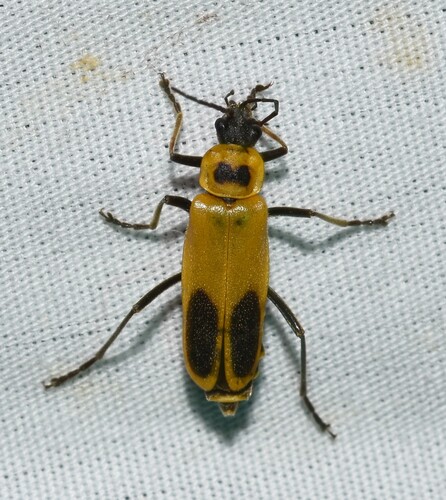 Goldenrod Soldier BeetleChauliognathus pensylvanicus81 observations
Photo by Wildreturn · CC-BY View photo
- Black SwallowtailPapilio polyxenes77 observations
 Spotted OrbweaverNeoscona crucifera73 observations
Photo by Mirko Schoenitz · CC0 View photo
- North American Wheel BugArilus cristatus70 observations
View on AllTrails
Opens this trail on AllTrails