
Photo by a200/a77Wells · CC BY 2.0
Trail
West Omaha · Managed by Papio NRD
Zorinsky Lake Trail
EasyBikeable
LakeFamilyWildlife
Popular West Omaha loop with prairie views, fishing pier, and waterbird habitat.
11.3 mi
Distance
1 hr 17 min
By bike
4 hr 4 min
On foot
Paved
Surface
Trail map
Full screenLine from Douglas-Omaha GIS (DOGIS). Douglas-Omaha GIS (DOGIS)© OpenStreetMap contributors
Along the trail
- South 168th StreetBridge
- Restrooms at Zorinsky Lake ParkRestrooms
- Parking at Zorinsky Lake ParkParking
- Zorinsky BallfieldsParking
What you might see
Research-grade iNaturalist observations along this trail in fall. Photos appear only under CC0 or CC BY.
- Common Eastern Bumble BeeBombus impatiens11 observations
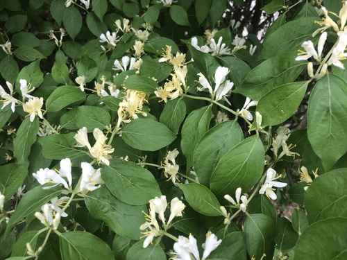 Amur honeysuckleLonicera maackii7 observations
Photo by Andrew Conboy · CC-BY View photo
- Corn Earworm MothHelicoverpa zea7 observations
- MonarchDanaus plexippus5 observations
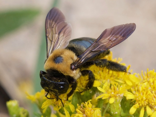 Eastern Carpenter BeeXylocopa virginica5 observations
Photo by Christopher Eliot · CC-BY View photo
- Cooper's HawkAstur cooperii5 observations
- Great Blue HeronArdea herodias4 observations
- MallardAnas platyrhynchos4 observations
- American RobinTurdus migratorius4 observations
- White-tailed DeerOdocoileus virginianus4 observations
- Painted LadyVanessa cardui4 observations
- American pokeweedPhytolacca americana4 observations
View on AllTrails
Opens this trail on AllTrails