Where to walk it off.
54 marked trails across the metro — paved paths, dirt loops, and city walks. Distance, surface, and difficulty noted on each card.

8.5-mile north-south connector along 144th Street from Fort Street to Giles Road. Links the West Papio Trail and serves as a key suburban commuting route.

Paved loop connecting Bellevue neighborhoods to the Keystone network.

Nearly 19 miles from Hefflinger Park south into Seymour Smith Park. Passes through six parks, connects retail corridors, and links to the Keystone at Seymour Smith.

Cross the Missouri River to Iowa and back. Stand in two states. Best sunrise views in the city.
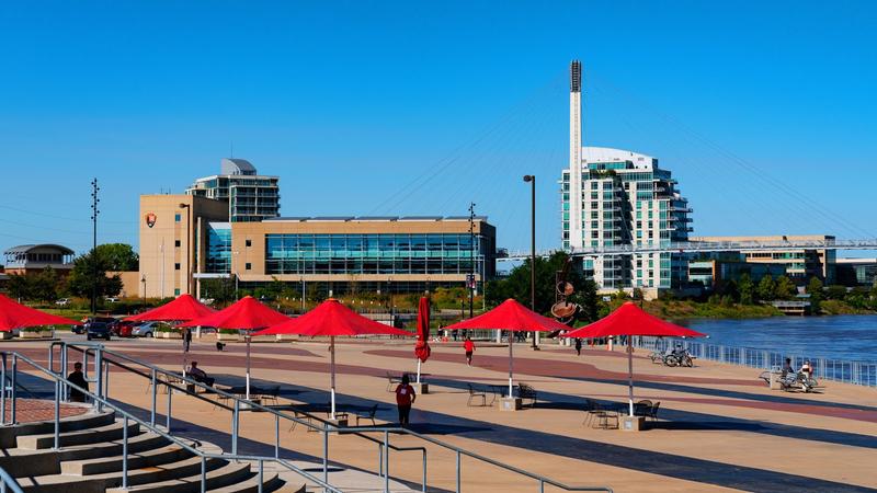
3.1 miles from 67th & Pacific through Elmwood Park and Memorial Park to 50th & Happy Hollow Blvd. Watch for golf balls through Elmwood Park.

6.2-mile paved concrete loop. ADA accessible, 8ft wide. Marina, shelters, campground, fishing docks.

~20 miles of multipurpose nature trails north of HWY 36. Hiking, MTB, horseback.

Local park trails at Fairmount Park.
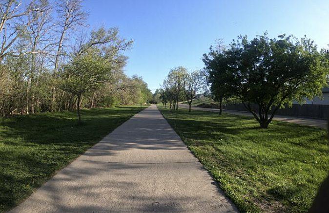
Historic 1.7-mile rails-to-trails corridor with the 60th Street overpass bridge and mature tree canopy. Keystone at Karen Park to 36th & Vinton.

Paved multi-use connecting Wabash Trace and Indian Creek systems.
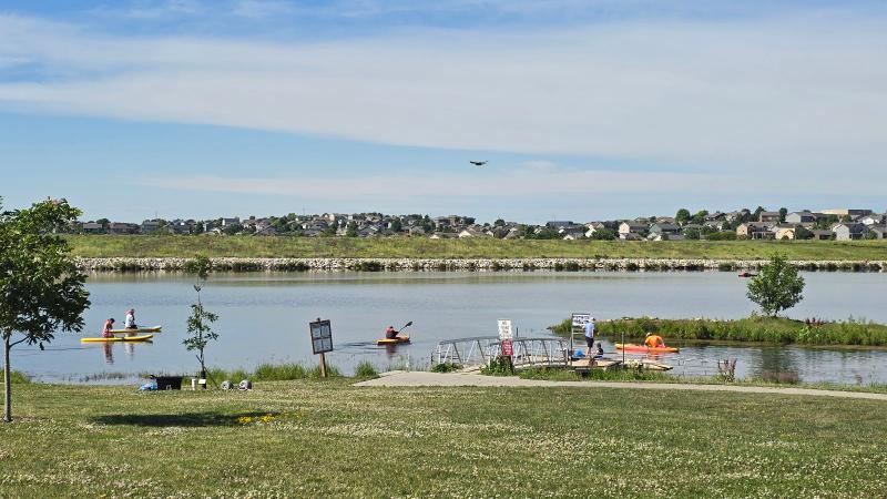
Flanagan Lake Trail is drawn from Douglas-Omaha GIS (DOGIS). 5.8 miles, 149 ft of climb.

2,100 acres of old-growth forest. 26 miles of trails. ADA-accessible boardwalk. 240+ bird species. Raptor Recovery. $15 entry.
Elevated boardwalk through the forest canopy. Fully accessible with stunning tree-top views.

Keystone southern terminus. Missouri River camping, boating, bird-watching.
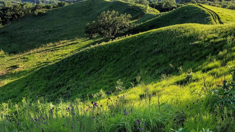
10 miles in the Loess Hills. Lookout tower, accessible boardwalk. Beautiful any season.

Paved connector linking Lake Manawa to Iowa Riverfront.

6.5 miles along Missouri River levee. Big Lake Park to south CB. Bob Kerrey Bridge connection.

One-mile paved campus loop. All skill levels.

The backbone of Omaha's trail system. 28 miles from Cunningham Lake south to Haworth Park in Bellevue. Flat, paved, and connects to nearly every other trail in the network.

~8 miles of mountain bike singletrack near Missouri River boat ramps.

7.5-mile paved shoreline loop. Connects Indian Creek & Wabash Trace.

Steep climb to panoramic Missouri River views at the Lewis & Clark Monument.

Connects the Keystone Trail to Walnut Creek Recreational Area through Papillion.

Paved loop + boardwalk. Lookout tower, train spotting. $7 vehicle permit.
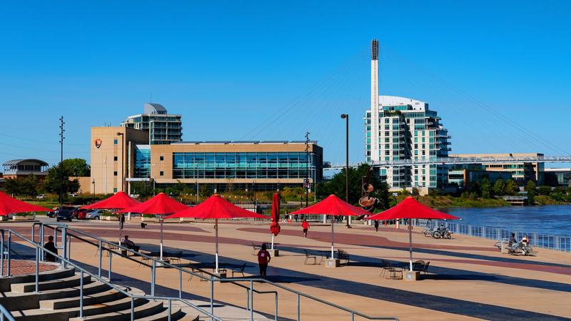
Brand-new trail system nearing completion. Open for public use except signed areas near Community Center. Full completion May 2026.
Military Road Trail
Military Road Trail is drawn from Douglas-Omaha GIS (DOGIS). 3.3 miles, 320 ft of climb.
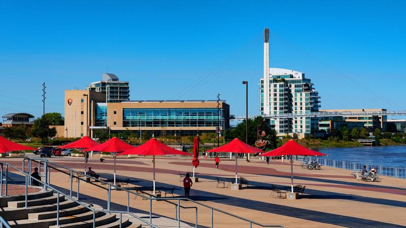
Remote, scenic paved trail from NP Dodge Park to Douglas/Washington County line. Boyer Chute NWR access.

MoPac Trail is drawn from Douglas-Omaha GIS (DOGIS). 16.1 miles, 300 ft of climb.

560 acres of woodland, prairie, and floodplain with Missouri River views. Dogs allowed. Less crowded than Fontenelle.
North Omaha Trail
North Omaha Trail is drawn from Douglas-Omaha GIS (DOGIS). 1.7 miles, 3 ft of climb.

Short paved trail from Pershing Drive to the Missouri River.

Along the Missouri River through downtown. Southern: Lewis & Clark Landing to Veterans Memorial Bridge. Northern: Kiwanis Park to Boyer Chute NWR.
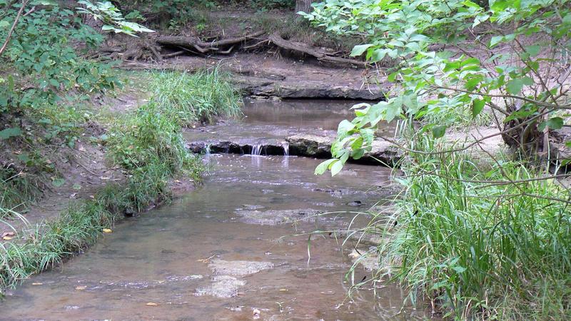
~10 miles with Stone Creek Falls, thick canopy, creek crossings. Best day-trip hike near Omaha.

1.5-mile paved trail with peaceful lake views. 180th St, south of HWY 36.

Multi-use connector trail in Council Bluffs.
Descends to the Missouri River floodplain through oak-hickory forest. Watch for deer and wild turkeys.

Top-rated trail on TrailLink for the Omaha area. Paved connector through west Omaha.

Short dirt trails near Gretna. Great fall foliage. Ak-Sar-Ben Aquarium area.

Skyline Trail is drawn from Douglas-Omaha GIS (DOGIS). 2.9 miles, 243 ft of climb.
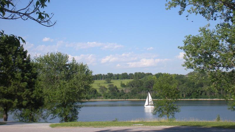
Parkway-side trail from Fontenelle Boulevard to 90th Street and Military Road.
South Omaha Trail
South Omaha Trail is drawn from Douglas-Omaha GIS (DOGIS). 3.7 miles, 202 ft of climb.

2.5-mile paved loop. Kite flying, RC airplanes, fishing.
Follows a wooded creek through ravines. Best for birding, especially in spring migration.

7.2 miles along Valley View Drive, east side of CB. Connects north from Wabash Trace trailhead.
Veterans Memorial Trail
Paved trail from the Veterans Memorial Bridge along Veterans Memorial Highway to East Manawa Drive. The 2023 map calls it 6 miles and connects it with the Western Historic Trails Center Link, Indian Creek Trail, and Lake Manawa Trail. The county line includes the 24th Street to Indian Creek gap. Drawn from Pottawattamie County GIS. 4.6 miles, 48 ft of climb.

Loess Hills preserve with scenic Missouri River valley overlook. Hiking only.

Iowa's premier rail-trail. 63 miles through the Loess Hills. Thursday Taco Rides. Camping. $2 day pass.
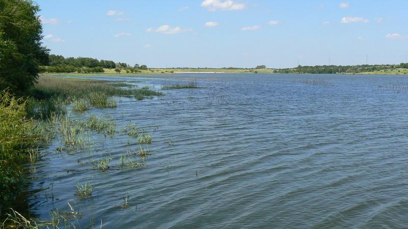
Figure-eight trail around 135-acre lake in 335-acre park. Near Werner Park.

Waterloo Trail is drawn from Douglas-Omaha GIS (DOGIS). 2.6 miles, 27 ft of climb.
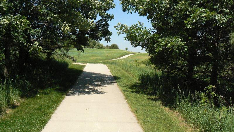
9+ miles of paved trail at Chalco Hills. Arboretum, wetlands, nature center. Heartland Bike Share on site.

23.5 miles through western Omaha following Papillion Creek. North section is one of the metro's most scenic trails with parks every mile. Connects Zorinsky Lake to Bellevue.
Western Douglas County Trail
Western Douglas County Trail is drawn from Douglas-Omaha GIS (DOGIS). 12.2 miles, 91 ft of climb.

NPS connector linking Iowa Riverfront Trail to the CB trail system.
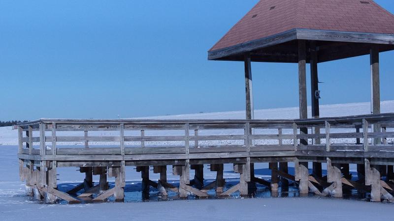
Popular West Omaha loop with prairie views, fishing pier, and waterbird habitat.